Program 2026/27FOUR-PART WEBINAR EXECUTIVE SERIES

Operational
Digital Twinsfor local government

Transforming community operations with GIS, AI, imagery and real-time data — a practical path from disconnected systems to one shared operational picture.

Aerial view of a city at golden hour showing streets, rooftops, bridges and neighborhoods
4 sessionsExecutive levelPractical implementationGIS + AI + Imagery
GIS311 RequestsPermitsInspectionsPublic WorksImageryLiDARSensorsWork OrdersField Operations

Series Overview

From scattered systems to one operational picture.

Communities generate enormous amounts of information every day — from GIS, 311 requests, permits, inspections, public works, imagery, sensors, and field operations. Yet most agencies still manage these systems independently.

That makes it difficult to understand what is happening, coordinate responses, and measure outcomes. This four-part executive series explores how Operational Digital Twins are becoming the foundation for smarter local government.

Participants will learn how to connect data across departments, improve service delivery, prioritize investments, and create a shared operational picture that supports better decisions across the organization. Built for executives, GIS leaders, public works, engineering, planning, transportation, utilities, and innovation teams, the series focuses on practical implementation rather than futuristic concepts.

Connect

Data across every department

Prioritize

Investment using objective evidence

Measure

Whether conditions actually improve

The Sessions

Four sequential sessions, each building toward an enterprise Operational Digital Twin.

01Session

Building the Operational Digital Twin

Connecting Places, Assets and Operations
Building the Operational Digital Twin

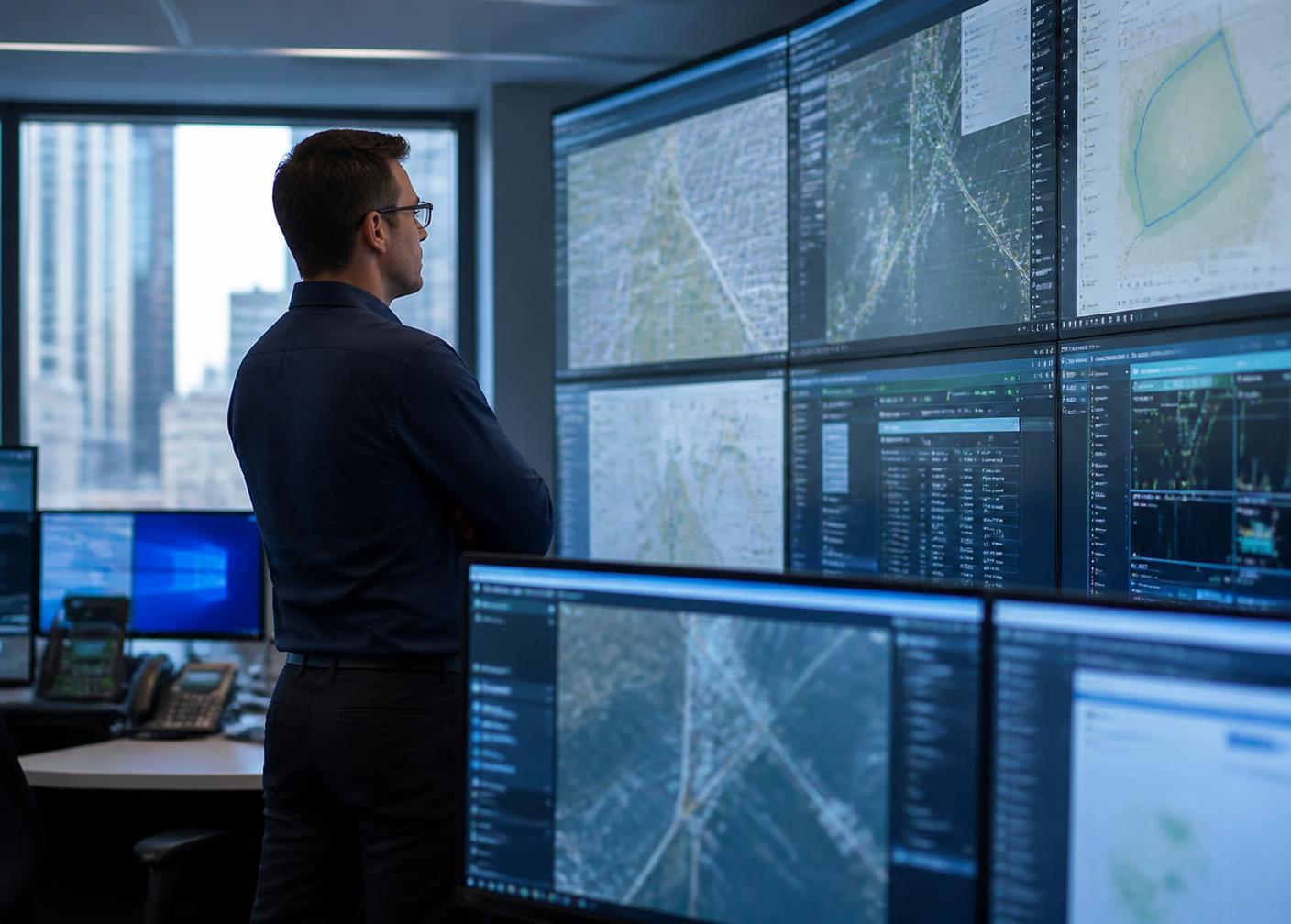
A Digital Twin is far more than a 3D model of a city. It is a living operational environment that connects the physical world with the information needed to manage it. This session introduces the principles of Operational Digital Twins and explains how GIS becomes the foundation for integrating data from across government.

Topics

  • What defines an Operational Digital Twin
  • Building a shared operational picture
  • Connecting GIS with enterprise data
  • Creating a block-by-block view of community conditions
  • Moving from maps to operational intelligence

Key Takeaways

  • Understand what an Operational Digital Twin really is
  • Learn why GIS provides the foundation
  • Identify the core datasets required
  • Develop a roadmap for getting started

Who Should Attend

City and County ManagersGIS DirectorsInnovation OfficersCIOs and CTOsPublic Works DirectorsEngineering ManagersPlanning Leaders
02Session

Seeing Your Community in Real Time

Integrating GIS, Imagery, AI and Operational Data

Seeing Your Community in Real Time

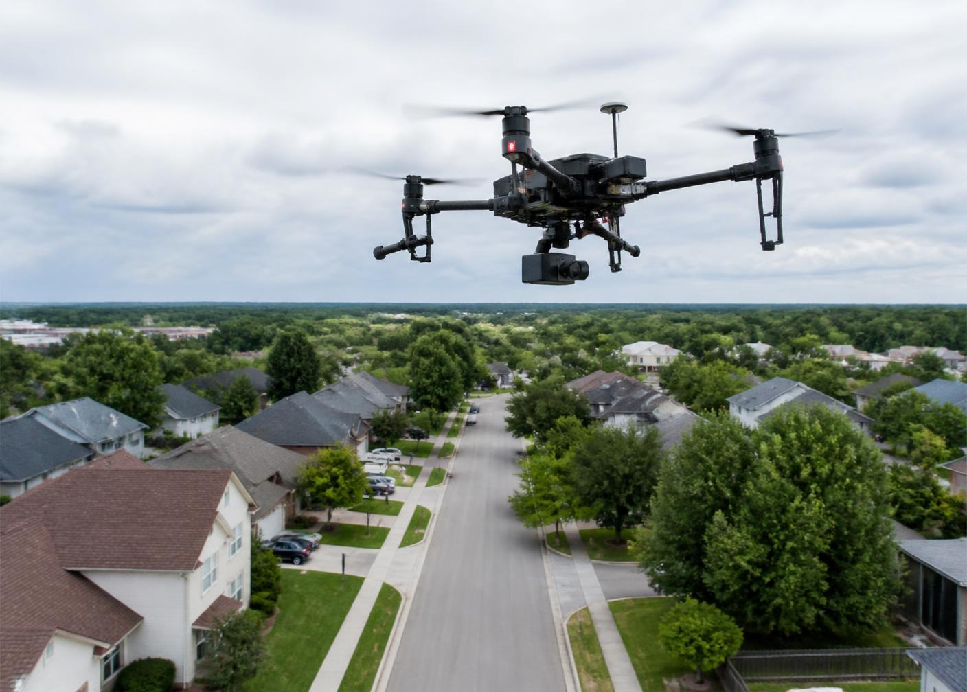
The value of a Digital Twin depends on the quality and timeliness of its information. This session explores how organizations combine GIS, imagery, LiDAR, inspections, 311 systems, work orders, permits, sensors, and AI to maintain an accurate picture of community conditions.

Topics

  • Integrating enterprise GIS
  • Imagery and reality capture
  • AI-assisted condition assessment
  • Operational data integration
  • Building trusted, current information

Key Takeaways

  • Learn which data sources deliver the greatest value
  • Understand how AI enhances operational awareness
  • Discover best practices for integrating enterprise systems
  • See how imagery supports continuous updates

Who Should Attend

GIS ProfessionalsAsset Management TeamsPublic WorksTransportation DepartmentsUtilitiesSurvey and Mapping TeamsIT Professionals
03Session

Turning Insight into Action

Prioritizing Work, Coordinating Departments and Improving Outcomes

Turning Insight into Action

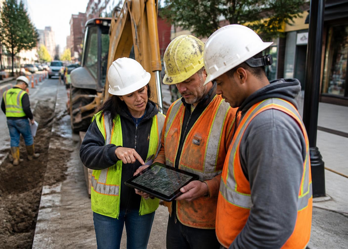
Collecting information is only the beginning. This session focuses on how Operational Digital Twins support decision-making by identifying patterns, prioritizing work, coordinating multiple departments, and measuring whether actions actually improve community conditions.

Topics

  • Identifying operational patterns
  • Prioritizing maintenance and investment
  • Coordinating cross-department activities
  • Tracking performance
  • Measuring outcomes over time

Key Takeaways

  • Improve operational efficiency
  • Reduce duplicated effort
  • Prioritize resources using objective data
  • Measure real-world improvements

Who Should Attend

Public WorksOperations ManagersEngineeringTransportationCode EnforcementEmergency ManagementExecutive Leadership
04Session

Creating the AI-Ready Community

Preparing Local Government for the Next Generation of Operations

Creating the AI-Ready Community

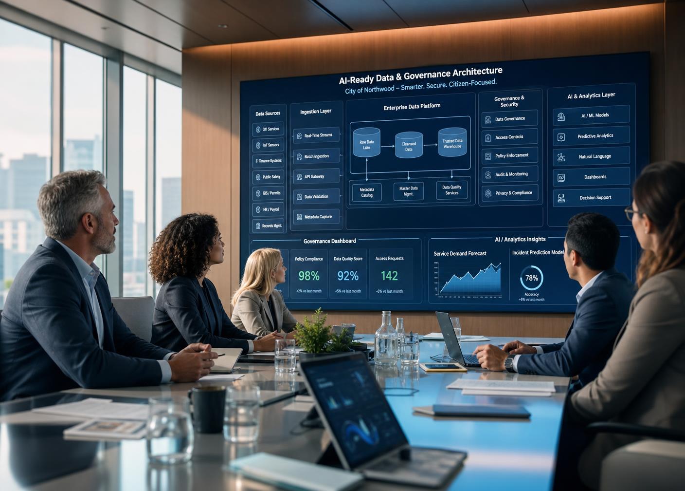
Operational Digital Twins are rapidly becoming the platform that enables Artificial Intelligence across local government. This concluding session examines the technology architecture, governance, data standards, and organizational changes needed to support AI-powered operations while maintaining security, transparency, and public trust.

Topics

  • AI-ready infrastructure
  • Data governance
  • Cloud and enterprise architecture
  • Privacy and responsible AI
  • Long-term implementation strategies

Key Takeaways

  • Understand the technology required for AI-ready operations
  • Learn how to establish governance and data standards
  • Prepare your organization for future AI initiatives
  • Develop a practical roadmap toward an enterprise Operational Digital Twin

Who Should Attend

Executive LeadershipCIOsGIS ManagersInnovation TeamsDigital Transformation LeadersData Governance Professionals

Who Attends

Built for the people who run the community.

Executive Leadership
GIS Directors and Managers
Public Works
Engineering
Planning
Transportation
Utilities
Innovation Teams
CIOs and CTOs
Asset Management
Emergency Management
Data Governance

Bring the Operational Digital Twin to your organization.